
Hiking guide
Mt Kenya routes compared: Sirimon, Naro Moru and Chogoria
Three main trekking routes take you to Point Lenana, the 4,985 m summit of Mt Kenya that hikers can reach without technical climbing. They start on different sides of the mountain and feel very different on the way up. Here is how they compare.
The short answer
Sirimon is the gentlest climb and the best for getting used to the altitude. Naro Moru is the most direct and the steepest. Chogoria is the most scenic, with lakes and deep valleys on the eastern side. Many groups go up Sirimon and come down Chogoria to see both.
Sirimon route
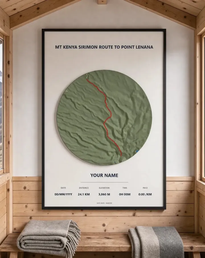
Sirimon approaches from the north-west, on the Nanyuki side. The path climbs steadily through forest and open moorland into the Mackinder Valley before the final push to Point Lenana. Because the gradient is gradual, it gives your body more time to adjust, which is the main reason people choose it for a first attempt.
On our map the Sirimon line to Point Lenana covers about 24.1 km with roughly 3,060 m of climbing.
Naro Moru route
Naro Moru comes up from the west and is the most direct way to the top. That directness makes it the steepest of the three, and the stretch known as the vertical bog can be wet and tiring after rain. It suits fit hikers who are short on time, but the quick height gain makes acclimatisation harder.
On our map the Naro Moru line covers about 22.7 km with roughly 2,846 m of climbing.
Chogoria route
Chogoria starts on the eastern side and is widely seen as the most beautiful approach, passing deep gorges and mountain lakes. The drive to the trailhead is longer, and the route is often used for the descent after going up Sirimon.
On our map the Chogoria line covers about 19.0 km with roughly 2,253 m of climbing.
Tips for any route
Whichever side you start from, the same basics matter most:
- Go slowly on the way up and plan at least one extra night for the altitude.
- Pack for cold: nights near the summit drop well below freezing.
- Go with a registered guide and follow park rules on the mountain.
- Start the summit push early so you reach Point Lenana for sunrise and come down before the weather turns.
Keep the climb on your wall
Every route is available as a framed 3D map: the real shape of the mountain printed in relief, your route raised in colour, and your names and summit date on the card under the glass.
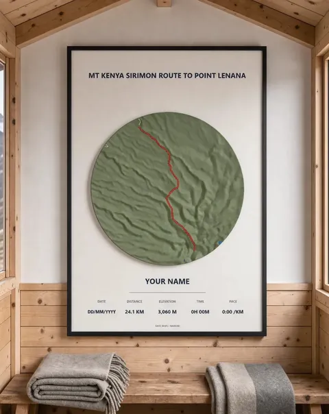 Mt Kenya Sirimon route to Point Lenana Framed 3D map · from KES 4,000
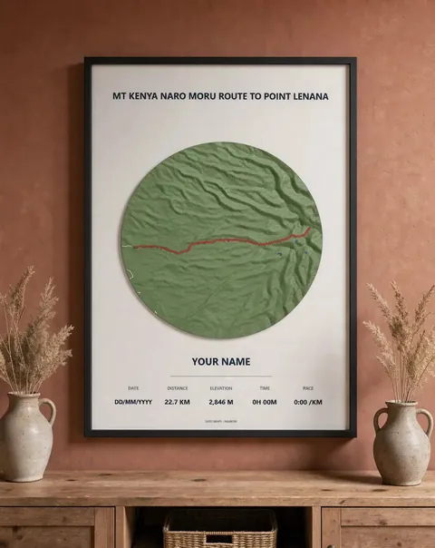 Mt Kenya Naro Moru route to Point Lenana Framed 3D map · from KES 4,000
 Mt Kenya Chogoria route to Point Lenana Framed 3D map · from KES 4,000