
Hiking guide
Day hikes near Nairobi: Ngong Hills, Longonot and Karura
You do not need to go far from Nairobi for a proper day out on foot. Three favourites cover everything from an easy forest walk to a tough volcano loop. Here is how they compare, using the routes we map.
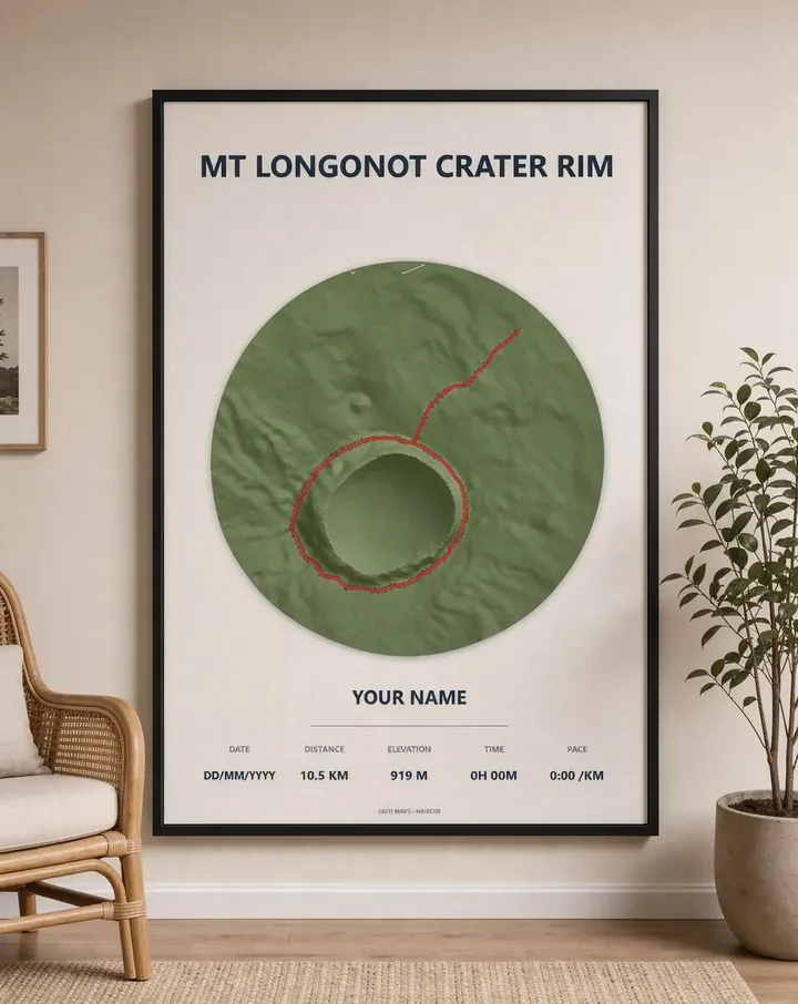
At a glance
- Karura Forest, Gate A to Gate F: about 5.8 km, roughly 82 m of climbing. Easy, shaded, inside the city.
- Ngong Hills traverse: about 8.7 km one way, roughly 341 m of climbing. Moderate, exposed ridge with big views.
- Mt Longonot crater rim: about 10.5 km, roughly 919 m of climbing. Hard, steep and dusty, with no shade.
Karura Forest: the easy one
Karura is a large forest on the northern edge of Nairobi with wide paths, streams, a waterfall and caves. It suits families, beginners and anyone wanting a shaded walk or run without leaving the city.
Ngong Hills: the classic ridge
South-west of the city, the Ngong Hills ridge rises and falls over a series of peaks, with the Rift Valley on one side and Nairobi on the other. It is short but steep in places and windy on top. Plan transport for the end, as the traverse is one way.
Mt Longonot: the hard one
Near Naivasha, about two hours from Nairobi, Longonot is a dormant volcano. The climb to the rim is steep and loose, and the loop around the crater adds sharp ups and downs. Start early and carry plenty of water.
Ready for more?
When the day hikes feel easy, Mt Kenya is the next step: a multi-day climb to Point Lenana. Read our Mt Kenya routes comparison to choose a side to climb from.
The maps in this guide
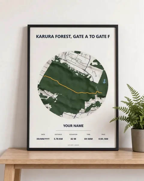 Karura Forest, Gate A to Gate F Framed 3D map · from KES 4,000
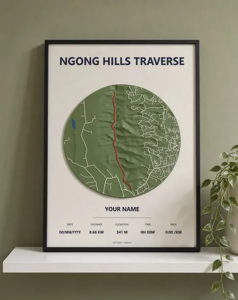 Ngong Hills traverse Framed 3D map · from KES 4,000
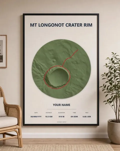 Mt Longonot crater rim Framed 3D map · from KES 4,000
More guides
- Mt Kenya routes compared: Sirimon, Naro Moru and Chogoria
- Ngong Hills hike: distance, climbing and what to expect
- Gift ideas for runners in Kenya
- Mt Longonot hike: the crater rim loop explained
- Karura Forest walk: Gate A to Gate F
- Nairobi marathons: the StanChart and Nairobi City Marathon courses
- How to download a GPX file from Strava, Garmin and other watches
- The World Marathon Majors explained
- How to display your marathon medal and race bib