
Hiking guide
Chogoria route, Mt Kenya: lakes, gorges and Point Lenana
Chogoria climbs Mt Kenya from the east, starting near the town of Chogoria, and is widely seen as the most beautiful way to Point Lenana at 4,985 m. It passes Lake Ellis, the Gorges Valley, Lake Michaelson and Hall Tarns. It takes longer to reach than the western routes and is quieter. Here it is stop by stop.

Stop by stop
Itineraries run from four to seven days. These are the main stops in order on the way up:
- Chogoria to the park gate: about 32 km of rough road through forest from the forest gate to the park gate, usually driven but possible on foot. Monkeys and safari ant columns are common, and elephant, buffalo and leopard live here. Bamboo starts near the park gate, where there is a campsite and, about 500 m away, the cabins of Meru Mt Kenya Lodge at about 3,017 m.
- Lake Ellis: a short walk through rosewood forest and glades to Lake Ellis at about 3,400 m. An afternoon walk up Mugi Hill, at about 3,650 m, helps with acclimatisation.
- Lake Michaelson: about six hours across moorland, then down to camp at the head of the Gorges Valley at about 4,000 m, below the cliffs known as The Temple.
- Hall Tarns and Minto's Hut: the main path follows a ridge above the Gorges Valley to Hall Tarns, which sit right on the path above a 200 m cliff over Lake Michaelson. Minto's Hut, at 4,290 m, is for porters only, with a campsite nearby.
- Simba Col and the summit: the path crosses the flat head of the Nithi River, steepens and splits towards Simba Col and Square Tarn on the Peak Circuit Path. From a high camp, the walk to Point Lenana at dawn takes about an hour and a half on rough ground that can be under snow.
Terrain and how hard it is
The lower part is a rough forest road, then forest paths, moorland and lake-side camps, then rocky alpine ground and scree near the top. Chogoria is not technical, and itineraries with nights and acclimatisation walks around Lake Ellis and Lake Michaelson give your body time to adjust.
The main difficulty is getting there: the drive to the trailhead is long and the road is poor. Many groups go up Sirimon and come down Chogoria to see both sides of the mountain.
On our map the Chogoria line covers about 19.0 km with roughly 2,253 m of climbing.
Best time of year
Mt Kenya has two dry seasons and two wet seasons. The driest time runs from about December to mid-March. A second, slightly wetter dry season follows the long rains and lasts until September.
The long rains fall from mid-March to June and bring about half of the year's rain. The short rains fall from October to December. In the dry season, mornings are usually clear and the mountain is often in cloud by midday, which is another reason to start early.
What to bring
- Warm layers, a warm hat and gloves: summit morning is below freezing, with frozen scree underfoot.
- A waterproof jacket and trousers for rain and wet moorland.
- Hiking boots with good grip.
- A head torch with spare batteries for the early summit start.
- A warm sleeping bag: most huts on the mountain have no heating.
- Sunglasses, sunscreen and insect repellent.
- A water filter or purification tablets: the tarns near Minto's Hut have no outflow, so the water must be filtered or boiled.
- Drinking water, snacks and a small first aid kit.
- No single-use plastic: Kenya's national parks are plastic-free.
Getting there, entry and fees
KWS lists Chogoria Gate on the Embu–Meru road side of the mountain, about 210 km north of Nairobi. From Chogoria town, the last 32 km to the park gate is a rough forest road that needs careful driving. KWS says park gates open at 6:00 am and close at 6:00 pm, unless you are staying overnight.
Kenya Wildlife Service (KWS) lists these entry rates for Mt Kenya National Park: East African citizens KES 800 per adult and KES 400 per child; Kenya residents KES 1,100 per adult and KES 550 per child; African citizens USD 30 per adult and USD 15 per child; non-residents USD 70 per adult and USD 35 per child. Meru Mt Kenya Lodge is privately run, so cabins there are booked separately from park entry.
The KWS park page does not say a guide is compulsory, but we strongly recommend a park-certified guide. Sirimon, Naro Moru and Chogoria are the routes with staffed gates; other routes need special permission from KWS. Official page: kws.go.ke/park/mt-kenya-national-park
Checked on 8 November 2026 against the official park website; confirm current fees before you go.
Keep the climb
We print the route on the real terrain, so the mountain rises off the wall in 3D with your line raised in colour. Add your names and summit date and it becomes the record of the climb. Chogoria's lakes and the deep Gorges Valley show up clearly in relief.
Common questions
Why is the Chogoria route called the most scenic?
It passes Lake Ellis, the deep Gorges Valley, Lake Michaelson below The Temple cliffs and Hall Tarns, with views across to the main peaks.
How long is the Chogoria route?
On our map the Chogoria line to Point Lenana covers about 19.0 km with roughly 2,253 m of climbing. Most itineraries take four to seven days.
Can you go up Sirimon and down Chogoria?
Yes. It is a popular combination that lets you see the north-western and eastern sides of the mountain.
How much does it cost to enter Mt Kenya National Park?
KWS lists KES 800 per adult for East African citizens, KES 1,100 for Kenya residents, USD 30 for African citizens and USD 70 for non-residents, with lower child rates. Checked on 8 November 2026; confirm before you go.
The maps in this guide
 Mt Kenya Chogoria route to Point Lenana Framed 3D map · from KES 4,000
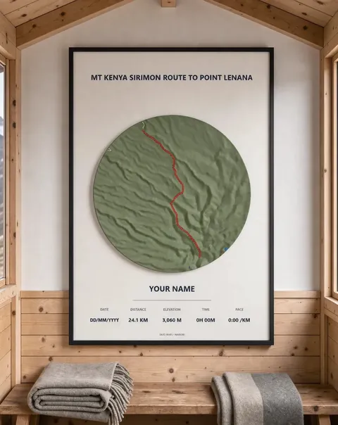 Mt Kenya Sirimon route to Point Lenana Framed 3D map · from KES 4,000
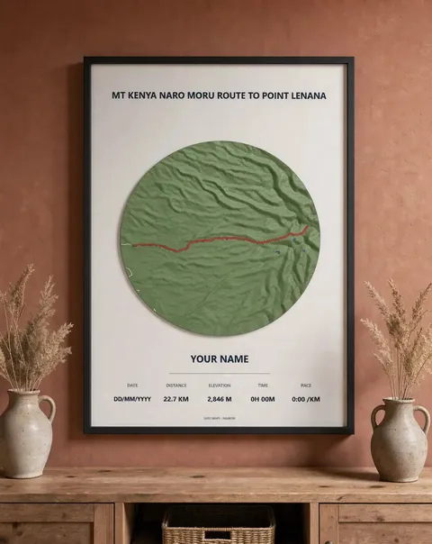 Mt Kenya Naro Moru route to Point Lenana Framed 3D map · from KES 4,000
More guides
- Mt Kenya routes compared: Sirimon, Naro Moru and Chogoria
- Ngong Hills hike: distance, climbing and what to expect
- Gift ideas for runners in Kenya
- Mt Longonot hike: the crater rim loop explained
- Karura Forest walk: Gate A to Gate F
- Nairobi marathons: the StanChart and Nairobi City Marathon courses
- How to download a GPX file from Strava, Garmin and other watches
- Day hikes near Nairobi: Ngong Hills, Longonot and Karura
- The World Marathon Majors explained
- How to display your marathon medal and race bib
- Kilimanjaro routes compared: Marangu or Machame
- Three classic South Africa hikes: Table Mountain, Lion's Head and the Amphitheatre
- African marathons worth running: from Kilimanjaro to Comrades
- Berlin Marathon course guide: route, landmarks and 2027 entry
- Boston Marathon course guide: Hopkinton to Boylston Street
- Chicago Marathon course guide: the Grant Park loop and 2027 entry
- London Marathon course guide: Greenwich to The Mall
- New York City Marathon course guide: five boroughs and five bridges
- Sydney Marathon course guide: Harbour Bridge to the Opera House
- Tokyo Marathon course guide: Shinjuku to Tokyo Station
- Paris Marathon guide: the course, landmarks and the 2027 race
- Rotterdam Marathon course guide: Erasmus Bridge to the Coolsingel
- Valencia Marathon course guide: a flat, fast race in December
- Nairobi City Marathon: course, Expressway route and 2027 date
- Lagos City Marathon: the coastal road course and 2027 date
- Cape Town Marathon: course, Majors status and 2027 date
- Kilimanjaro Marathon: Moshi course, hills and 2027 date
- Two Oceans Ultra Marathon: the 56 km course and 2027 date
- Comrades Marathon: the down run course, hills and 2027 date
- Hell's Gate gravel ride: LOOP Safari Gravel route in Naivasha
- Limuru gravel ride: the LOOP Safari Gravel route through tea country
- Machakos gravel ride: the Safari Gravel Series route
- Sirimon route, Mt Kenya: day by day to Point Lenana
- Naro Moru route, Mt Kenya: the direct way to Point Lenana
- Marangu route, Kilimanjaro: hut by hut to Uhuru Peak
- Machame route, Kilimanjaro: day by day to Uhuru Peak
- Mount Meru climb: the Momella route to Socialist Peak
- Platteklip Gorge hike: the direct way up Table Mountain
- Lion's Head hike, Cape Town: the spiral path to the top
- Drakensberg Amphitheatre hike: Chain Ladders to Tugela Falls
- Standard Chartered Nairobi Marathon 2027: course, date and entry
- Ol Donyo Sabuk hike: climbing Kilimambogo from the KWS gate
- Mt Suswa hike: the inner crater rim to the summit
- Ol Donyo Lesatima hike: the Aberdares' highest peak
- Elephant Hill hike, Aberdares: Njabini to the summit
- Kinangop via Elephant Hill: a two-day Aberdares trek
- Koitobos Peak hike: Mt Elgon's highest point in Kenya
- Hell's Gate gorge walk: into Ol Njorowa Gorge, Naivasha
- Kenya's best hikes: from Kilimambogo to Mt Elgon