
Hiking guide
Mt Suswa hike: the inner crater rim to the summit
Mt Suswa is a double-crater volcano on the floor of the Rift Valley, between Narok and Nairobi. Inside the outer crater sits a second, inner crater, with a moat-like trench around a tilted block of rock in the middle. The hike follows the rim of that inner crater from the campsite to the summit at 2,356 m. Here is the route section by section.
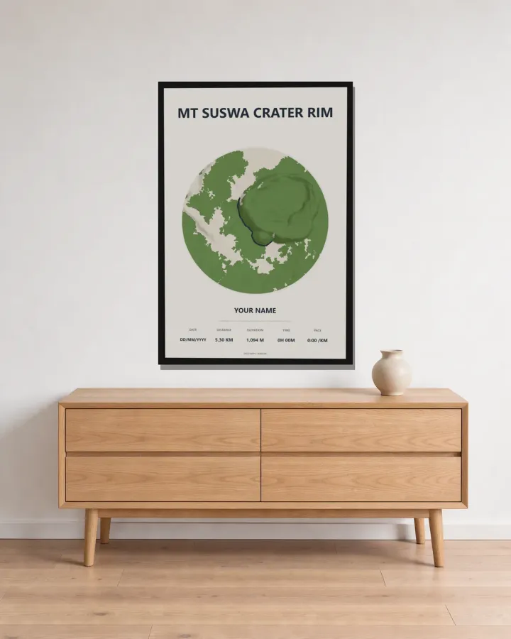
Section by section
- The campsite: most hikers park at the road head beside the campsite and viewpoint on the edge of the inner crater. From here you look straight down into the forested trench around the central block.
- Along the rim: the path climbs a gradual slope along the crater edge, with the drop into the inner crater on one side. Rock hyraxes dart between the boulders, and small antelopes graze on the slopes.
- The first summit: about an hour from the start you reach the first high point on the rim.
- The second summit: another hour on, the higher second summit is the top of the mountain, at 2,356 m. You come back the same way.
- The full circuit: if you want more, the trail right round the inner crater is about 22 km and takes seven hours or more. Our map shows the out-and-back route to the summit only.
Terrain and how hard it is
The rim path to the summit is easy to moderate: a dirt trail with rocky sections and a gentle overall climb. The full circuit of the inner crater is much harder, with about 1,380 m of climbing.
The walk to the summit and back takes about four hours. The inner crater, about 5 km across, is covered in forest that is home to leopards, hyenas and buffalo, so stay on the rim path.
On our map the line from the campsite to the summit covers about 5.3 km one way.
Best time of year
The Kenya Meteorological Department describes March to May as the main rainfall season over most of Kenya, with October to December as the short rains.
The drier months, from January to February and from June to September, are the best for the hike and for the 4WD tracks up the mountain, which are steep and rocky.
What to bring
- Plenty of drinking water and food: there are no shops on the mountain.
- Shoes with good grip for the rocky sections.
- A hat, sunscreen and sunglasses: the rim has little shade.
- A warm layer for the morning and evening if you camp.
- A torch or head torch if you plan to visit the lava caves.
- Money for conservancy fees and a guide.
Getting there, entry and fees
From Nairobi, take the lower escarpment road to Mai Mahiu, then the Narok road. The quickest way to the crater campsite is to drive 43 km from Mai Mahiu to Duka Moja, then turn onto a 22 km dirt road. Allow about an hour and a half from Nairobi to Duka Moja, and another hour and a half to the crater. The final climb needs a 4WD vehicle. The lava caves are on the outer crater, on a separate track.
The mountain is managed by the Mount Suswa Conservancy, whose members collect fees at barriers on the access tracks. A guide can be arranged to take you past the barriers, and a local guide is recommended for the caves. The conservancy publishes no official fee schedule online, so agree the fees for entry, your vehicle, camping and a guide before you set off. Maasai homesteads surround the mountain; if your route crosses one, introduce yourself to the head of the family.
Checked on 8 November 2026 against the published sources we could find; confirm current fees before you go.
Keep the hike
We print the route on the real terrain, so Suswa's two craters and the island block in the middle stand out in 3D, with the rim path raised in colour. Add the date and the names of the group.
Common questions
How long does it take to hike Mt Suswa?
About four hours from the crater campsite to the summit and back. On our map the line from the campsite to the summit is about 5.3 km one way. The full circuit of the inner crater is about 22 km and takes seven hours or more.
How high is Mt Suswa?
The summit on the rim of the inner crater is 2,356 m above sea level.
Do you need a 4WD to get to Mt Suswa?
Yes. The last part of the drive up to the crater campsite is steep and rocky, and needs a 4WD vehicle.
How much does it cost to hike Mt Suswa, and do you need a guide?
The Mount Suswa Conservancy collects fees at barriers on the access tracks but publishes no official fee schedule, so agree fees and a guide locally. A local guide is recommended for the lava caves. Checked on 8 November 2026; confirm before you go.
The maps in this guide
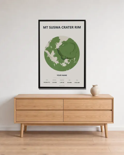 Mt Suswa crater rim Framed 3D map · from KES 4,000
 Mt Longonot crater rim Framed 3D map · from KES 4,000
 Hell's Gate gorge walk Framed 3D map · from KES 4,000
More guides
- Mt Kenya routes compared: Sirimon, Naro Moru and Chogoria
- Ngong Hills hike: distance, climbing and what to expect
- Gift ideas for runners in Kenya
- Mt Longonot hike: the crater rim loop explained
- Karura Forest walk: Gate A to Gate F
- Nairobi marathons: the StanChart and Nairobi City Marathon courses
- How to download a GPX file from Strava, Garmin and other watches
- Day hikes near Nairobi: Ngong Hills, Longonot and Karura
- The World Marathon Majors explained
- How to display your marathon medal and race bib
- Kilimanjaro routes compared: Marangu or Machame
- Three classic South Africa hikes: Table Mountain, Lion's Head and the Amphitheatre
- African marathons worth running: from Kilimanjaro to Comrades
- Berlin Marathon course guide: route, landmarks and 2027 entry
- Boston Marathon course guide: Hopkinton to Boylston Street
- Chicago Marathon course guide: the Grant Park loop and 2027 entry
- London Marathon course guide: Greenwich to The Mall
- New York City Marathon course guide: five boroughs and five bridges
- Sydney Marathon course guide: Harbour Bridge to the Opera House
- Tokyo Marathon course guide: Shinjuku to Tokyo Station
- Paris Marathon guide: the course, landmarks and the 2027 race
- Rotterdam Marathon course guide: Erasmus Bridge to the Coolsingel
- Valencia Marathon course guide: a flat, fast race in December
- Nairobi City Marathon: course, Expressway route and 2027 date
- Lagos City Marathon: the coastal road course and 2027 date
- Cape Town Marathon: course, Majors status and 2027 date
- Kilimanjaro Marathon: Moshi course, hills and 2027 date
- Two Oceans Ultra Marathon: the 56 km course and 2027 date
- Comrades Marathon: the down run course, hills and 2027 date
- Hell's Gate gravel ride: LOOP Safari Gravel route in Naivasha
- Limuru gravel ride: the LOOP Safari Gravel route through tea country
- Machakos gravel ride: the Safari Gravel Series route
- Sirimon route, Mt Kenya: day by day to Point Lenana
- Naro Moru route, Mt Kenya: the direct way to Point Lenana
- Chogoria route, Mt Kenya: lakes, gorges and Point Lenana
- Marangu route, Kilimanjaro: hut by hut to Uhuru Peak
- Machame route, Kilimanjaro: day by day to Uhuru Peak
- Mount Meru climb: the Momella route to Socialist Peak
- Platteklip Gorge hike: the direct way up Table Mountain
- Lion's Head hike, Cape Town: the spiral path to the top
- Drakensberg Amphitheatre hike: Chain Ladders to Tugela Falls
- Standard Chartered Nairobi Marathon 2027: course, date and entry
- Ol Donyo Sabuk hike: climbing Kilimambogo from the KWS gate
- Ol Donyo Lesatima hike: the Aberdares' highest peak
- Elephant Hill hike, Aberdares: Njabini to the summit
- Kinangop via Elephant Hill: a two-day Aberdares trek
- Koitobos Peak hike: Mt Elgon's highest point in Kenya
- Hell's Gate gorge walk: into Ol Njorowa Gorge, Naivasha
- Kenya's best hikes: from Kilimambogo to Mt Elgon